Click on the site navigation chart for easy access to the links.
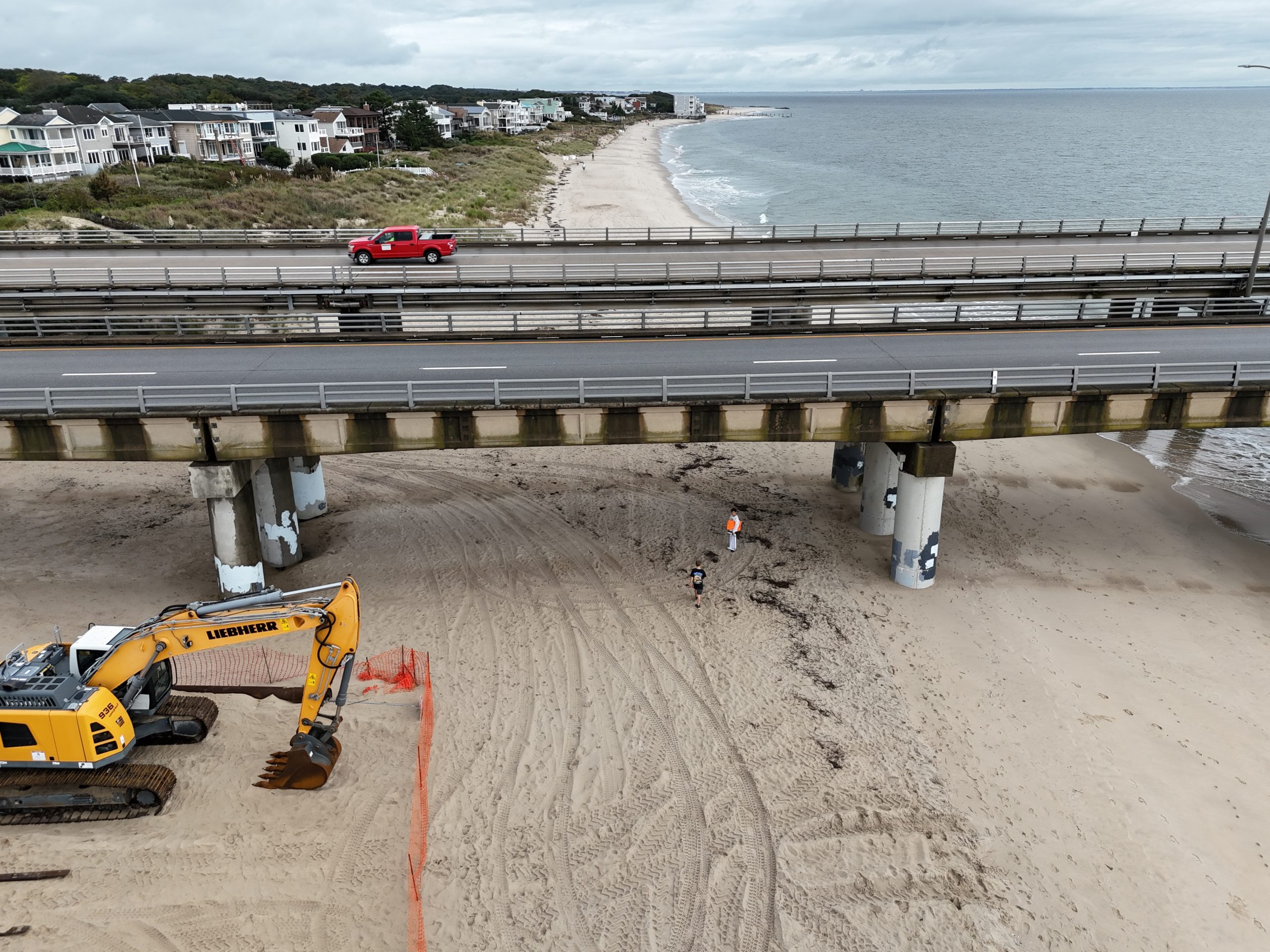
Advanced Nearshore and Shoreline Monitoring
Accurate, Fast, and Cost-Effective Coastal Analysis
At ESM, we utilize advanced drone technology to deliver accurate and reliable monitoring services for nearshore and shoreline areas. Our cutting-edge drone solutions provide high-resolution orthophotos and detailed 3D mapping, enabling precise analysis of coastal changes. This allows for informed decision-making in coastal management, environmental assessments, and infrastructure planning.
Why Choose Our Services?
Our aerial drone operations enable rapid site surveys, typically completed within 2-3 hours. With our efficient data processing workflows, we deliver high-resolution orthophotos and 3D models within 24 hours, ensuring a total turnaround time of just 2-3 days.
Our Shoreline and Nearshoreline mapping solutions include:
✅ Erosion Monitoring – Track shoreline changes over time with repeatable data collection. ✅ Storm Impact Assesments – Quickly assess damage after storms for effective recovery planning. ✅ Coastal Development Planning – Provide accurate site data for engineering and construction projects. ✅ Tidal & Water Level Documentation – Integrate hydrodrone-collected data with aerial monitoring. ✅ 3D Terrain & Surface Modeling – Generate detailed models for environmental and infrastructure planning.
Get Started Today
Whether you’re tracking shoreline changes, monitoring environmental shifts, or conducting detailed terrain analysis, our fast, cost-effective drone solutions provide the insights you need to stay ahead in managing your coastal resources.
📌 Interested in our services? You can click here to fill out a contact form and we will get back to you as soon as possible.
Explore all our shoreline monitoring projects by clicking here.
")