Click on the site navigation chart for easy access to the links. 

Data-Driven Solutions for Sustainable Land & Water Management.

Earth Systems Management, LLC offers solutions for developing accurate coastal and river valley data, helping communities understand and manage their natural resources more effectively.

Our educational and training programs focus on equipping the next generation with the skills necessary to address critical environmental challenges. We also strive to create career opportunities for local students here, on the Eastern Shore of Virginia.

With our advanced autonomous system tools used for environmental monitoring, we seek to promote both the economic and ecological resilience of the community. We specialize in nearshore topobathymetry, shoreline monitoring for change over time, integrated drone-based bathymetric and aerial topographic mapping, data processing, and the manufacturing of sustainable autonomous systems.

OUR SERVICES

DISCOVER OUR LATEST WORKS

Chic's Beach, Va

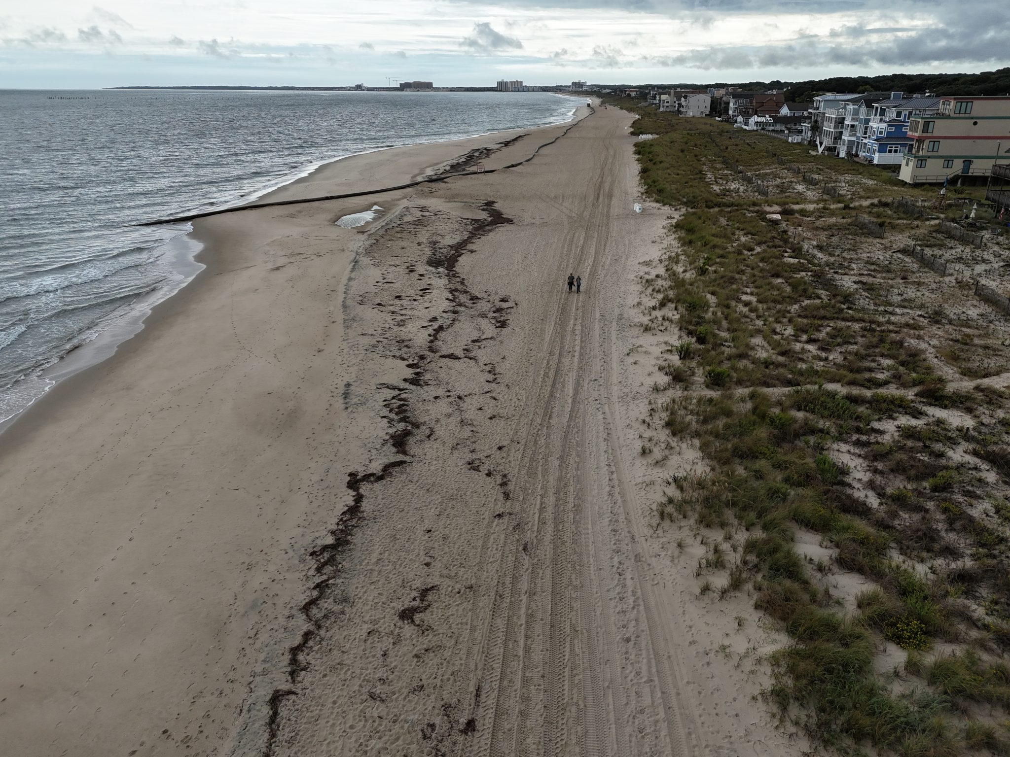
Since June 2024, ESM has utilized advanced aerial drone technology to monitor the shoreline at Chic’s Beach, VA. This initiative provides valuable insights for sustainable management, coastal resilience, and ecological preservation.

Burtons Bay, Va

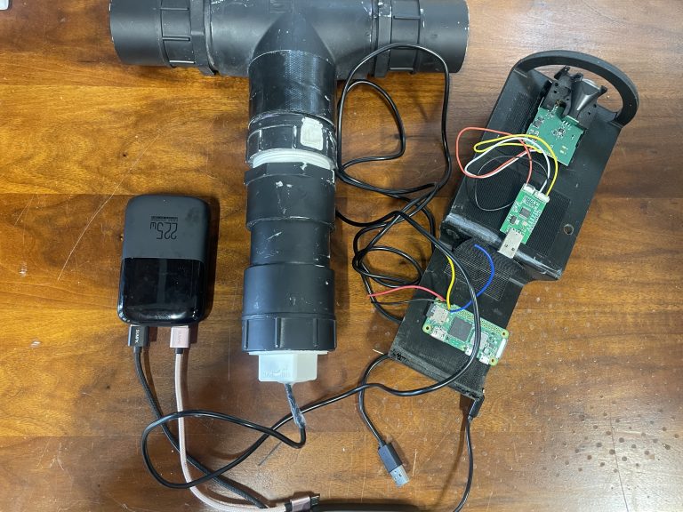
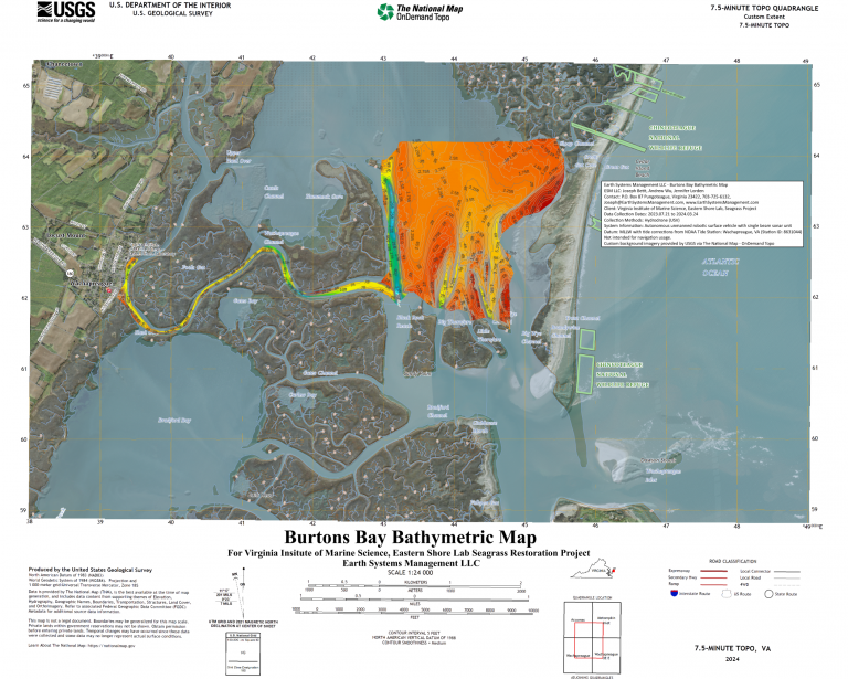
In collaboration with the Virginia Institute of Science and its Eastern Shore Marine Laboratory, ESM performed bathymetric monitoring at Burton Bay to aid their seagrass restoration efforts. Utilizing advanced HydroDrone technology, ESM delivers detailed underwater mapping to optimize planting locations for success.

Seaduce Site, Cape Charles Va

ESM is partnering with a local boat-building business to provide high-precision 3D mapping for their construction site. By using advanced drone technology, we create detailed site models that help streamline planning and optimize space for their next build, ensuring efficiency and precision in their craftsmanship.