Click on the site navigation chart for easy access to the links.
Chic’s Beach, VA
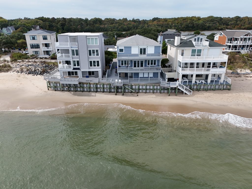
Shoreline Monitoring at Chic's Beach, VA: Tracking Coastal Changes
Orthophoto from 01/25/2025
The Challenge of Erosion at Chic's Beach
Chic’s Beach has long faced coastal erosion, with storms, tides, and human activity contributing to the gradual retreat of the shoreline. Our monitoring efforts provide valuable aerial data to help understand these changes and support conservation planning.
Navigating Flight Restrictions
Our work at Chic’s Beach comes with unique challenges, primarily due to the beach’s proximity to an airport. FAA regulations require us to limit drone flights to between 50 and 100 feet, which significantly reduces our field of view and makes it more difficult to extract large-scale topographic data. Unlike higher-altitude flights that provide broader coverage, these lower elevations require more precise planning and data stitching to create comprehensive shoreline models. Despite these limitations, our team employs advanced techniques to ensure we capture accurate and actionable data.
Click here to view the Interactive Map.
Please note that some phones may not support MapHub, so we recommend viewing it on a computer for the best experience.
For the public, we provide an interactive MapHub timeline, allowing viewers to explore our monitoring efforts over time. Click here to explore the interactive map (Note: Some mobile devices may not support MapHub; a computer is recommended for the best experience.)
In addition to the interactive map, clients receive a 3D interactive display of their property, processed using WebODM. This advanced platform offers various tools, such as:
Elevation models to analyze terrain changes
Measurement tools for distances and areas
3D point cloud visualization for high-detail inspections
Orthophotos for high-resolution, geo-referenced images


")
