Eye4Software Hydromagic is a professional hydrographic survey package for mapping underwater depths using compatible echo sounders and GNSS or RTK receivers. The software supports the complete survey process, including real-time data acquisition, sounding corrections, data editing, terrain modeling, volume calculations, and final-product export—all through an interface designed to be straightforward and easy to learn.
Hydromagic is developed by Eye4Software, a Netherlands-based company specializing in GPS, GIS, and hydrographic software for Windows. The company has worked in hydrographic software development since 2001 and introduced Hydromagic to the worldwide market in 2011.
Hydromagic Features
Real-time collection and display of position and depth data
Compatibility with many commonly used echo sounders and GNSS/RTK receivers
Automatic RTK or manual tide correction
Draft and sound-velocity corrections
Heave, pitch, and roll corrections using compatible motion sensors
Echogram recording and display
Editing and filtering of raw sounding and position data
Importing of georeferenced maps and nautical charts
Creation of regularly spaced XYZ grids and terrain models
Exporting to commonly used hydrographic and mapping formats
Hydromagic Key Components:
Clear Navigation Display
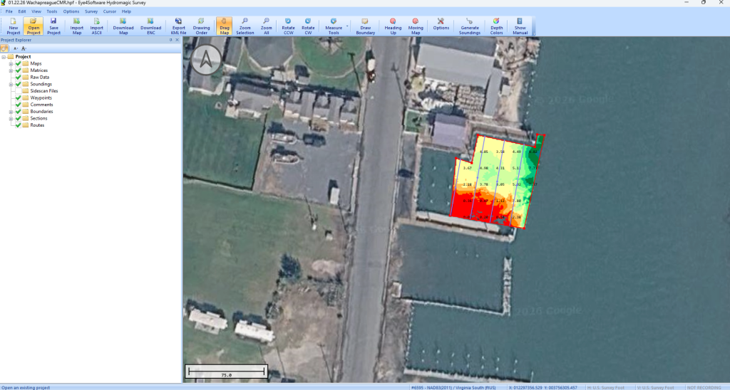
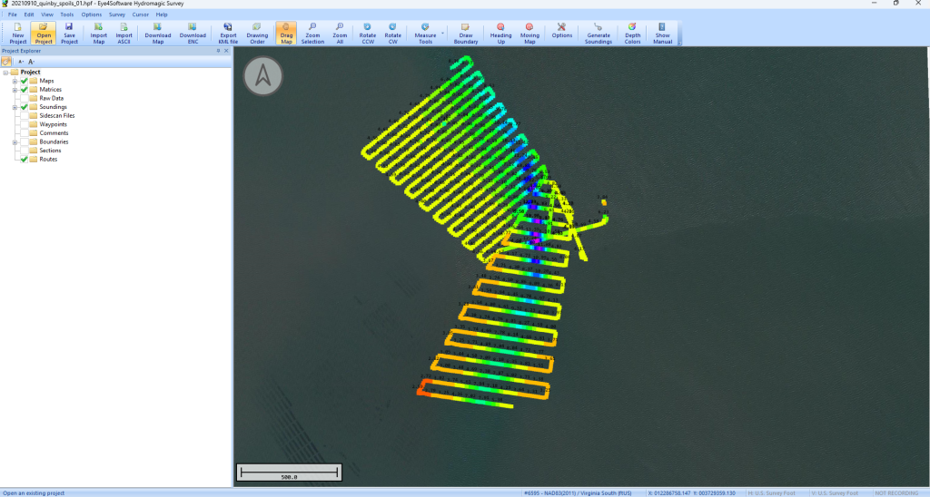
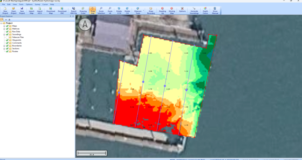
View vessel position, survey lines, sounding depths, GNSS information, and color-coded survey data within a clear, centralized display. A cross-track indicator can also help the operator remain aligned with planned survey lines.
Single-Beam Data Editing
Process raw survey data using tools for filtering and correcting depth and position measurements. Tide, draft, and sound-velocity corrections can be applied before producing the final sounding dataset.
XYZ and Final-Product Export
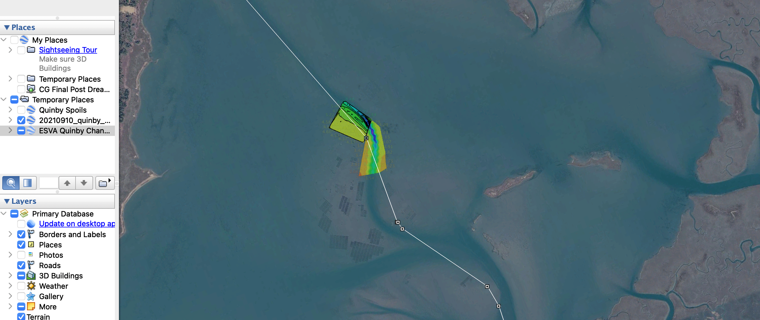
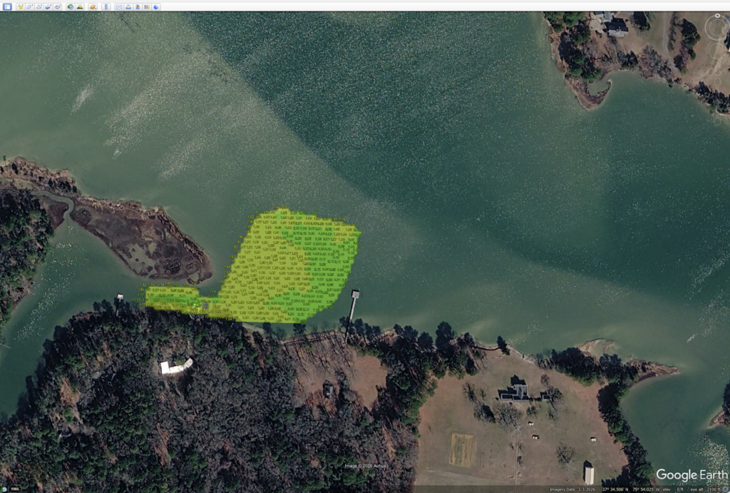
Export edited soundings as XYZ point-cloud data for use in compatible third-party software. Hydromagic can also generate gridded terrain data, contours, cross sections, and files for applications such as AutoCAD and Google Earth..
Dredging and Volume Calculation Tools
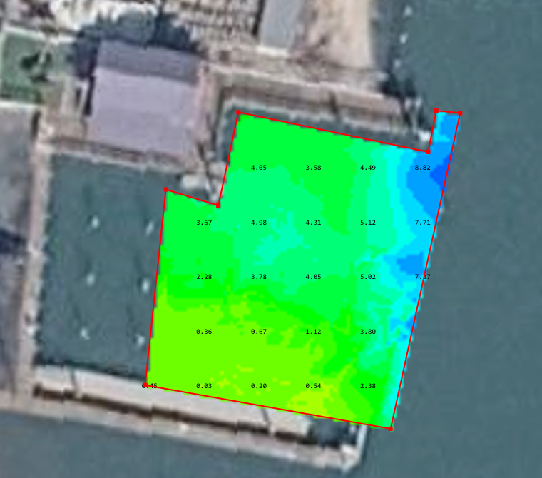
Hydromagic can be used to create color-coded depth models and evaluate dredging areas. Survey data may be compared with a target depth or reference surface to identify shallow areas and estimate the amount of material requiring removal.
Technical Support
Earth Systems Management is available to help customers get started with Hydromagic and guide them through general questions involving installation, licensing, setup, and basic software use. When a question requires more specialized technical assistance, we can help connect customers with the appropriate resources and support channels to ensure they receive accurate guidance.